Car & GPS

10 Best Marine GPS Chartplotter 2026: Preloaded Charts, Clear Displays

Find a true chartplotter with preloaded coastal maps—not a fish finder in disguise—so you can navigate unfamiliar waters with confidence.

If you've ever bought a marine GPS that promised navigation but only showed a blank screen or waypoints, you're not alone. Many products labeled 'chartplotters' are actually fish finders with basic GPS—missing the preloaded charts needed for coastal cruising.

This guide focuses on true chartplotters that include real navigational charts like Navionics+ or C-MAP, covering every budget and screen size. The big decision is whether to invest in side-imaging sonar that reveals fish-holding structure, or save money with down-scan that still gives you depth and bottom detail. A proper chartplotter shows you exactly where you are and where you're going.

1

Garmin ECHOMAP UHD2 94sv

Top Pick
Garmin ECHOMAP UHD2 94sv

Serious anglers

Our Score 9.4/10
Check Price

Worth Noting

Connectivity
Wi-Fi, trolling motor
Control Type
Touchscreen
Chart Coverage
Navionics+ U.S. Coastal
Sonar Technology
CHIRP, ClearVü, SideVü scanning

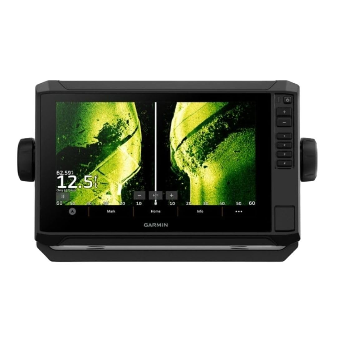
The GT56 transducer gives the ECHOMAP UHD2 94sv a decisive edge on the water. SideVü and ClearVü scanning sonar resolve fish arches and bottom structure with sharp detail, even at trolling speeds, helping anglers pinpoint fish hugging docks or drop-offs. The preloaded Navionics+ coastal charts add auto-guidance and daily chart updates, so navigation is as crisp as the sonar returns.

The 9-inch sunlight-readable touchscreen holds its own against glare. Split-screen views — chart on one side, SideVü on the other — remain legible even with polarized sunglasses, and the screen is responsive with wet fingers. Build quality feels solid, with a sealed case that stands up to salt spray.

Installation is painless and the redesigned interface cuts through menu diving. The quick-disconnect mount and clear wiring guide get the unit running fast, while the home-screen layout puts sonar, chart, and trolling motor controls front and center. Wi-Fi and NMEA 2000 connectivity let the chartplotter talk to Garmin Force trolling motors and share data with other onboard electronics.

This unit is for coastal boaters and tournament anglers who want side-scanning sonar, detailed charts, and full Garmin ecosystem integration. The premium price places it beyond casual users and those who only need down-scan or basic GPS. Initial pairing with the ActiveCaptain app can take some time, yet it's a one-time step that unlocks seamless chart updates and quick-sharing of waypoints.

Bottom line: For anglers who won't compromise on side-scanning sonar and coastal charting, the ECHOMAP UHD2 94sv is the definitive all-in-one. The premium investment buys imaging capability and navigation precision that lesser units can't match.
2

Simrad GO9 9" MFD

Simrad GO9 9" MFD

Budget-conscious boaters

Our Score 9.0/10
Check Price

Worth Noting

  • Display resolution is not full HD—chart labels and fine detail can appear slightly soft compared to premium 9-inch units.
  • Occasional reports of units arriving dead-on-arrival or in previously opened boxes; a bench test before installation can catch any early issues.
Connectivity
Wi-Fi, NMEA 2000, Bluetooth
Control Type
Touchscreen
Chart Coverage
C-MAP Discover US/Canada
Sonar Technology
CHIRP DownScan Imaging

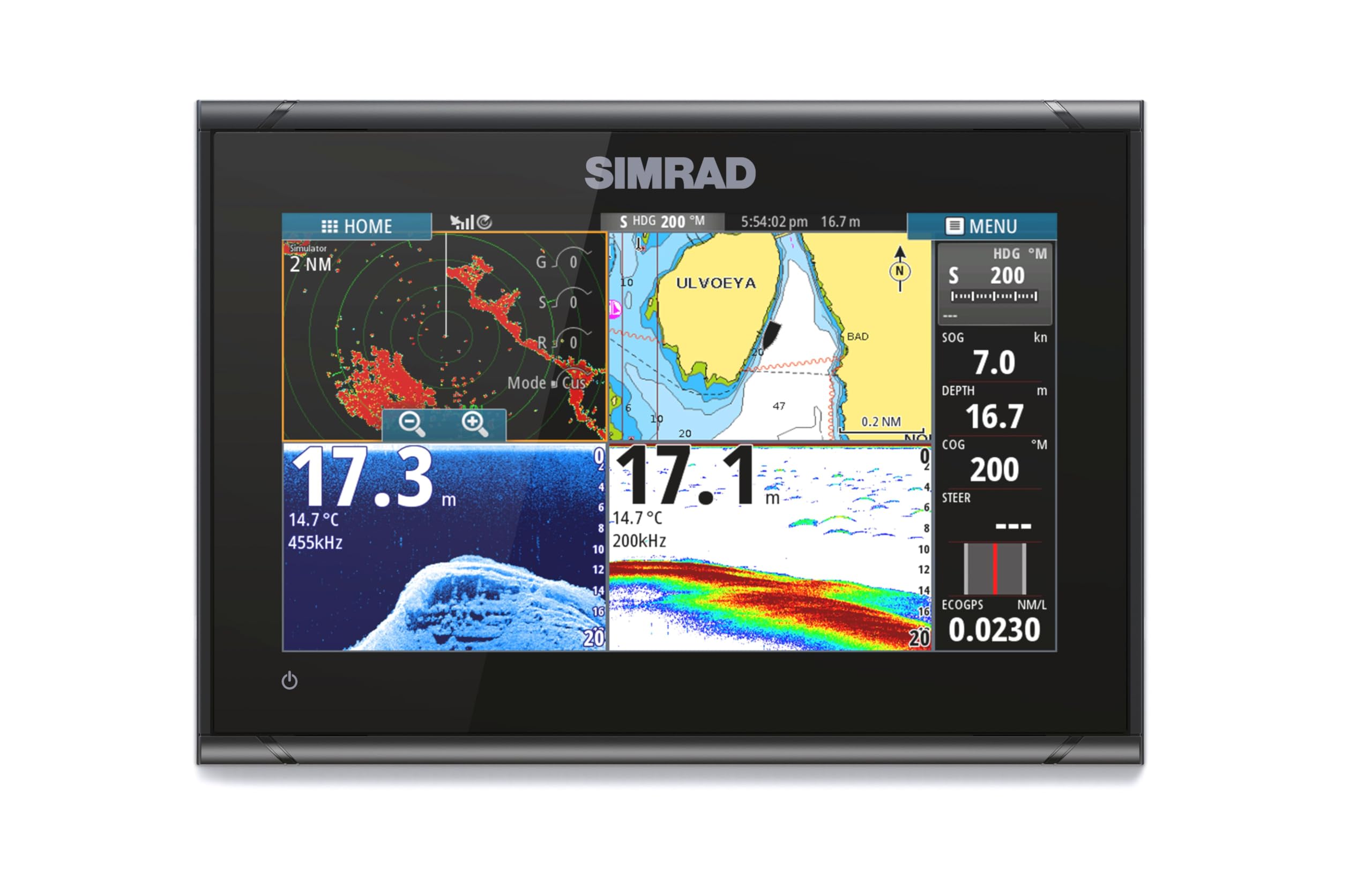
The GO9 focuses on the essentials: preloaded C-MAP Discover coastal charts, CHIRP down-scan sonar, and a responsive 9-inch capacitive touchscreen in a well-built housing. By leaving out side-scan and using a non-HD display, it undercuts the top pick’s price dramatically, making it a compelling mid-range chartplotter for coastal runs. The interface remains approachable and the initial setup is quick, even for a first-time chartplotter owner.

This unit suits center-console and sportboat owners who want a large chartplotter screen with full coastal navigation and basic bottom imaging. It is not for anglers who depend on side-scanning to locate fish structure to the sides, nor for those who expect the pixel density of an HD tablet—the screen is noticeably softer than higher-end competitors. If you can live within those boundaries, the GO9 delivers a capable, no-nonsense navigation hub at a mid-range price.

Bottom line: If your priority is a large touchscreen display and coastal navigation on a mid-range budget, the GO9 delivers where it counts—just know that you're trading side-scan and the sharpest screen resolution for the savings.

3

Humminbird Helix 5 G3 CHIRP

Humminbird Helix 5 G3 CHIRP

Budget boaters

Our Score 9.0/10
Check Price

Worth Noting

  • Depth finder may become intermittent or cease operating after several months, requiring warranty service
Connectivity
Control Type
Keypad
Chart Coverage
Basemap (10k lakes, coastal)
Sonar Technology
Dual Spectrum CHIRP (2D)

The Humminbird Helix 5 G3 CHIRP ships with a preloaded Basemap covering over 10,000 lakes and US coastlines — a feature absent from many budget fish finders that offer only GPS waypoints. This turns the unit into a functional chartplotter for navigation without needing to purchase additional mapping cards.

Dual Spectrum CHIRP sonar delivers clear 2D returns and reliable depth tracking, marking fish and bottom contours without the complexity of scanning sonar. The 5-inch display and keypad interface remain legible in direct sun and straightforward to operate with wet fingers, while AutoChart Live lets you record up to eight hours of custom contour mapping on unmapped waters.

This unit is best for budget-conscious anglers who need navigation on a small boat or kayak. The absence of down or side imaging is the trade-off for its price, keeping it focused on 2D sonar. Occasional unit failure after months of use has been noted, so registering the warranty is prudent.

Bottom line: If navigation charts on a budget matter more than scanning sonar, the Helix 5 G3 CHIRP delivers mapping and 2D performance that its chartless competitors can't match — but keep the warranty handy for the rare case of early failure.

4

Humminbird Helix 5 DI G3

Humminbird Helix 5 DI G3

Anglers on budget

Our Score 0.0/10
Check Price

Worth Noting

  • No side imaging; only down-looking sonar is available
Connectivity
Control Type
Keypad
Chart Coverage
Basemap (10k lakes, coastal)
Sonar Technology
CHIRP Down Imaging + 2D

Adding CHIRP Down Imaging to Humminbird’s 5-inch Helix platform gives the DI G3 a clear edge over the 2D-sonar-only Helix 5, without bumping the price into territory that demands side-scan. You get detailed bottom readings and structure definition directly below the boat, combined with Humminbird Basemap’s 10,000+ lake and coastal charts. AutoChart Live lets you map uncharted waters in real time, turning local ponds into personal bathymetric maps — a capability many budget chartplotters skip.

The DI G3 fits the angler who works structure-heavy lakes and rivers where what’s underneath the hull matters most. It’s for someone who wants GPS navigation, down imaging, and mapping in one compact unit at a cost that leaves room for a trolling motor upgrade. The 5-inch keypad screen stays legible in bright sun, and the interface remains intuitive even with wet hands or gloves. If your fishing demands sweeping side coverage to locate fish across wide flats, this unit isn’t the answer; that capability lives in Helix 5 SI models.

Tip: If the transducer bracket feels less sturdy than expected, pick up an aftermarket metal plate or fabricate a simple bracket — a $15 fix that resolves the only structural quibble noted in the field.

Bottom line: A sensible step up from basic 2D chartplotters, the Helix 5 DI G3 delivers down imaging and dependable mapping at a price that won’t raise eyebrows. It’s aimed squarely at fresh- and coastal-water anglers who want to read the bottom without financing a full sonar suite.

5

Lowrance Elite FS 10"

Lowrance Elite FS 10"

Tech-savvy anglers

Our Score 0.0/10
Check Price

Worth Noting

  • Transducer may lose bottom signal above 15 mph, complicating high-speed runs.
  • Power button can fail after a year, and random shutdowns are a documented concern.
Connectivity
Live sonar, trolling motor
Control Type
Touchscreen
Chart Coverage
C-MAP contour mapping
Sonar Technology
Active Imaging 3-in-1

The Lowrance Elite FS carves out its niche with a generous 10-inch display and native support for ActiveTarget live sonar, features not bundled in the top-tier Garmin ECHOMAP UHD2 94sv at similar pricing. Active Imaging 3-in-1 delivers CHIRP, SideScan, and DownScan rendered with striking clarity, and live sonar compatibility turns the unit into a real-time fish-tracking station when paired with ActiveTarget 2 XL. Preloaded C-MAP charts provide high-detail contour mapping for confident navigation, and trolling motor integration streamlines boat control.

The touchscreen interface is crisp and responsive, even with wet fingers or polarized glasses. Menus are logically arranged, though the feature depth demands some learning. Image quality across sonar modes remains a strong suit: FishReveal overlays highlight fish within structure, and the 10-inch canvas allows side-by-side views without feeling cramped.

This unit suits anglers who embrace cutting-edge technology and are willing to accept reliability trade-offs. The elephant in the room is long-term durability: power button failures and random shutdowns have been noted after a year of use, and the included transducer may lose bottom tracking above 15 mph — an annoyance for those who run between spots. Setup complexity further tilts it toward the tech-savvy. If live sonar readiness and screen size outweigh the need for bulletproof dependability, the Elite FS delivers a compelling package that undercuts the fully loaded top pick on price.

Tip: To maintain bottom tracking above 15 mph, consider a through-hull transducer or fine-tune the mounting height of the included transducer.

Bottom line: If live sonar readiness and a large touchscreen matter more than rock-solid longevity, the Lowrance Elite FS delivers a feature-rich experience at a more accessible price than the top-tier Garmin. For those unwilling to risk hardware hiccups, the Garmin ECHOMAP UHD2 94sv is the safer long-term investment.

6

Garmin ECHOMAP UHD2 54CV

Garmin ECHOMAP UHD2 54CV

Small boat owners

Our Score 9.0/10
Check Price

Worth Noting

  • Non-touch keyed interface can require patience and menu familiarity for advanced settings
  • The 5-inch display restricts map detail and sonar interpretation when splitting views, limiting utility for those accustomed to larger screens.
Connectivity
Wi-Fi
Control Type
Keyed
Chart Coverage
BlueChart g3 U.S. Coastal
Sonar Technology
CHIRP traditional + ClearVü

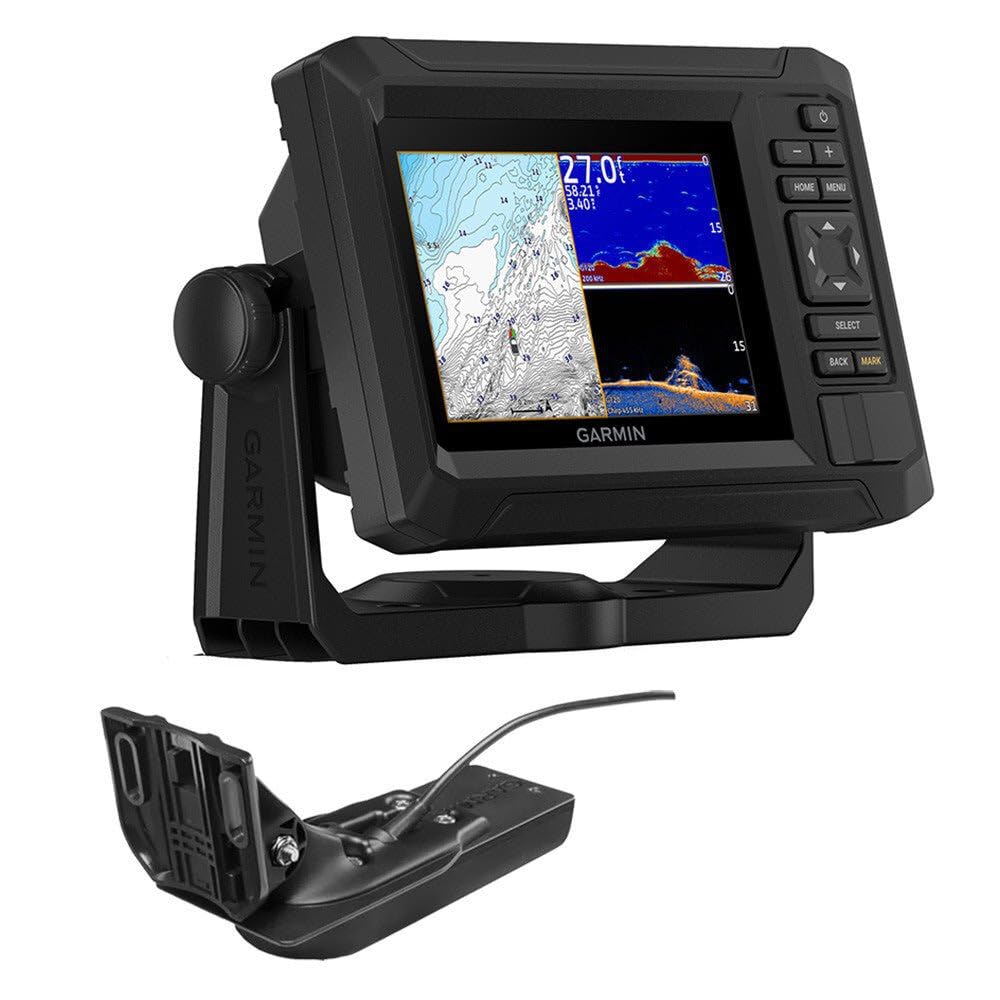
The Garmin ECHOMAP UHD2 54CV combines preloaded BlueChart g3 coastal mapping with CHIRP traditional and ClearVü sonar in a compact keyed unit. Installation is direct, and the 5-inch display remains readable in varying light conditions, providing accurate navigation on coastal waterways without extras that inflate cost.

The absence of a touchscreen means all input relies on the keypad — a deliberate design that keeps the price mid-range and appeals to boaters who value tactile controls over swiping. The 5-inch screen is compact, making it a poor fit for anyone accustomed to larger chartplotters, but it mounts easily in cramped helm spaces. For those who can accept the smaller display and key-based menus, this unit delivers core chartplotter functions without compromise.

Tip: Spend a few outings practicing keypad shortcuts to speed up waypoint entry and sonar adjustments.

Bottom line: For small skiffs and pontoon boats where helm space is tight and touchscreens are not a priority, this Garmin provides accurate coastal navigation at a mid-range price — as long as you are comfortable with a compact display and keypad controls.

7

Garmin ECHOMAP UHD2 53CV

Garmin ECHOMAP UHD2 53CV

Freshwater anglers

Our Score 8.8/10
Check Price

Worth Noting

  • Fish finder mark accuracy can be inconsistent; some users may see weak or missed returns.
Connectivity
Wi-Fi
Control Type
Keyed
Chart Coverage
Navionics+ U.S. Inland
Sonar Technology
CHIRP traditional + ClearVü

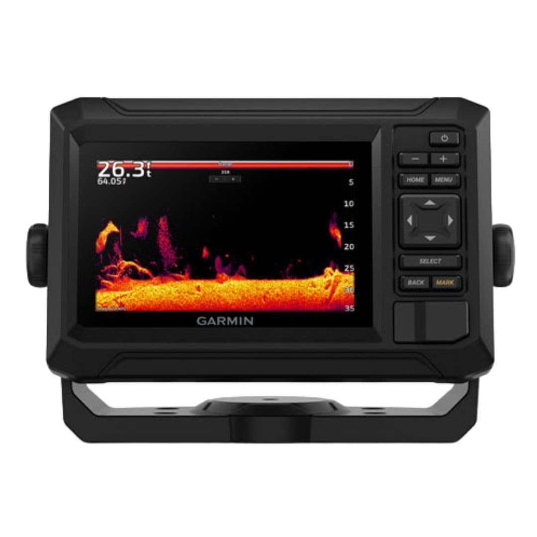
Preloaded Navionics+ inland lake charts and ClearVü down-scan sonar give freshwater anglers a focused navigation and depth-sounding tool. A 5-inch sunlight-readable display, intuitive keypad interface, reliable depth and temperature data, and built-in Wi-Fi for ActiveCaptain updates keep operation straightforward. Fish finder performance can be inconsistent; occasional missed marks may require refined transducer placement. This unit does not include coastal charts or side-scanning sonar, so it stays inland-only.

Tip: Mount the transducer with a clear, unobstructed path to the bottom and away from hull turbulence to improve fish return consistency.

Bottom line: For freshwater anglers on inland lakes who want integrated navigation and depth soundings without saltwater charts, this unit fits well. Those who rely heavily on fish marks or want side-scan may need a different model.

8

Garmin ECHOMAP UHD2 74cv

Garmin ECHOMAP UHD2 74cv

Limited data

Our Score 8.8/10
Check Price

Worth Noting

  • Keyed-only interface makes waypoint entry and chart panning slower than on touchscreen models.
  • Lacks side-scan sonar, so bottom coverage is narrower
Connectivity
Wi-Fi
Control Type
Keyed
Chart Coverage
U.S. Coastal Navionics+
Sonar Technology
CHIRP traditional + ClearVü

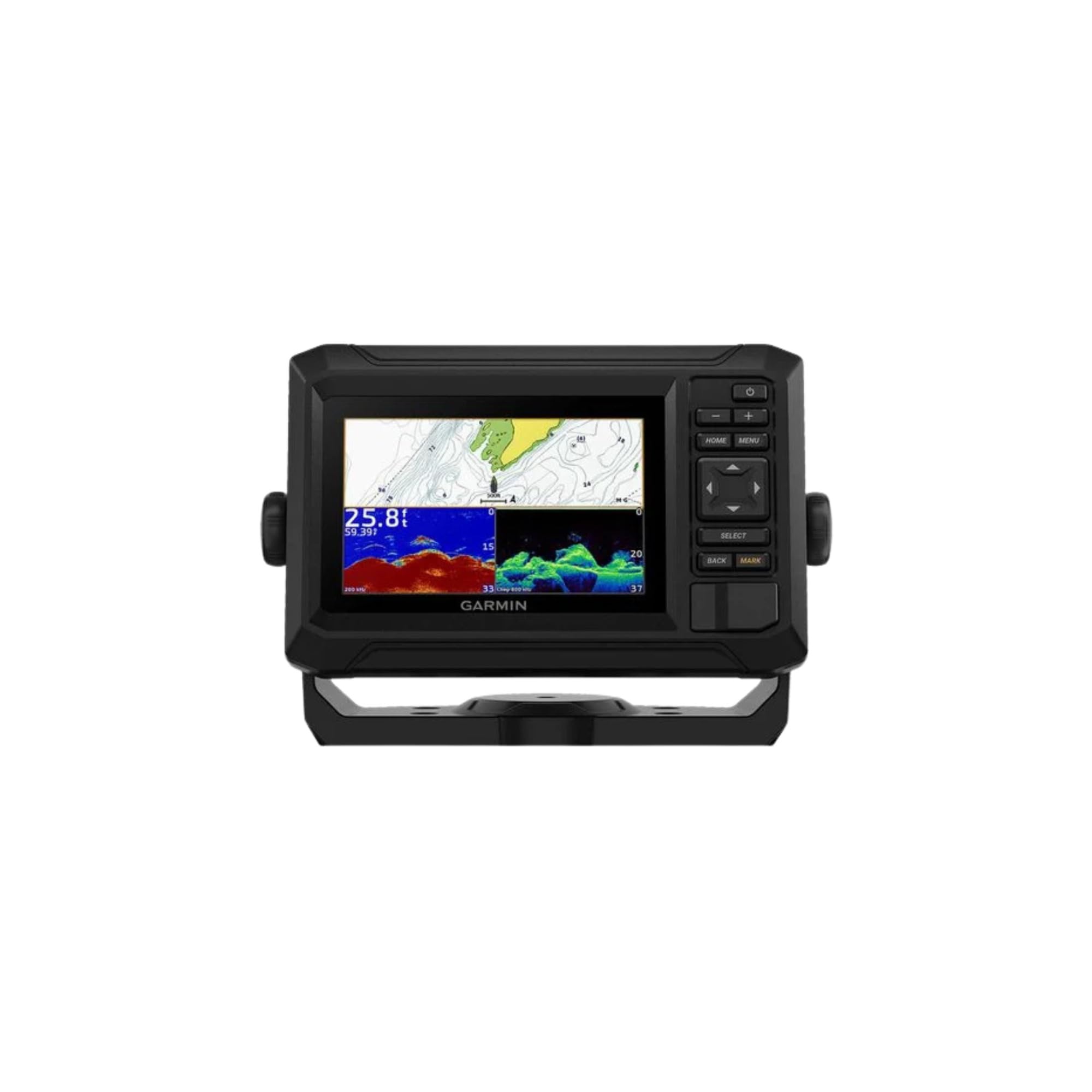
The 7-inch display and preloaded U.S. coastal charts make this a turnkey navigation device right out of the box, backed by Wi-Fi for painless map updates and ActiveCaptain integration. CHIRP traditional and ClearVü scanning sonar from the included GT20 transducer deliver solid depth tracking and bottom structure detail. The keyed interface is responsive and familiar, but lacks the tap-and-drag convenience of a touchscreen when dropping waypoints or panning across charts. Absent side-scan sonar, offshore anglers will miss the wider bottom coverage found in higher-cost units. The biggest gap is that long-term durability and everyday reliability on the water haven't been verified through real-world usage patterns, so selecting this model means trusting the spec sheet and Garmin's engineering rather than field-proven consistency.

Bottom line: Best suited for coastal boaters who want a straightforward, map-ready unit without side-scan, and who are comfortable relying on the spec sheet rather than extensive user feedback.

9

Garmin Striker 4

Garmin Striker 4

Kayak anglers

Our Score 9.2/10
Check Price

Worth Noting

  • 3.5-inch screen is cramped
  • No preloaded charts; waypoint-only mapping means you cannot see shorelines or navigate unfamiliar waters.
Connectivity
Control Type
Keypad
Chart Coverage
None
Sonar Technology
CHIRP, ClearVü

It delivers accurate depth, CHIRP sonar, and GPS waypoint marking at a price that fits small-craft budgets. The flasher mode extends use to ice fishing. For anyone needing marine navigation with shoreline maps, the Striker 4 stops at sonar and waypoints — it is not a chartplotter.

Bottom line: If you're a kayak or ice fisherman needing depth and GPS waypoints without navigation charts, the Striker 4 fits the bill at a price that's hard to argue with.

10

Garmin GPSMAP 78sc

Garmin GPSMAP 78sc

Backup navigation

Our Score 8.4/10
Check Price

Worth Noting

  • 2.6-inch screen can be hard to decipher in direct sunlight, making chart details difficult to see.
  • Unit may occasionally fail to power on or freeze; worth testing before any trip.
Connectivity
ANT+ sharing
Control Type
Keypad
Chart Coverage
BlueChart g2 coastal
Sonar Technology

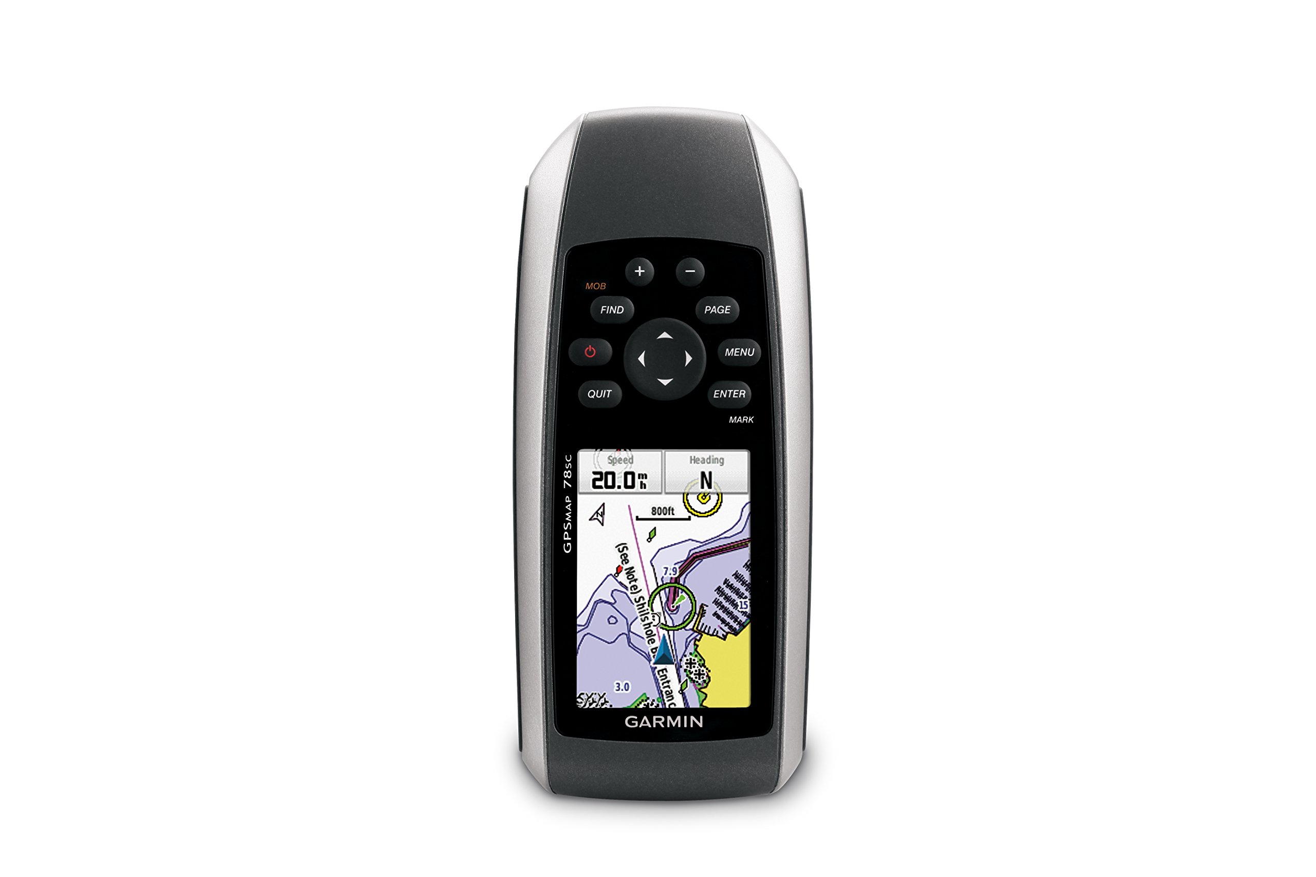
The Garmin GPSMAP 78sc packs BlueChart g2 coastal coverage and a sensitive GPS receiver into a rugged, IPX7-rated body that floats — and it runs nearly 20 hours on AA batteries, making it a practical spare for small boats and kayaks.

The 2.6-inch screen, however, is dim and cramped by modern standards, with a button-based interface that feels antiquated. For glancing at waypoints or confirming a bearing in an emergency, it’s adequate; for primary navigation, the tiny display and occasional software hiccups become liabilities. Boaters who want a waterproof Plan B — stored in a dry bag, ready if the main chartplotter quits — will find the GPSMAP 78sc a sensible, low-cost insurance policy.

Tip: Use lithium AA batteries for longer shelf life and better cold-weather performance; alkaline cells can leak if stored for extended periods.

Bottom line: Worth a look solely as an emergency backup for coastal boaters who already have a primary chartplotter and value a floating, battery-powered safety net.

How to Choose

Screen Size and Sunlight Readability

Screen size directly affects how much map detail you can see at a glance. Larger displays (9 inches and up) show more chart area with less panning, reducing distraction while underway. However, size matters less than brightness under direct sun—a dim 9-inch screen is harder to read than a crisp 5-inch unit.

The hidden trade-off is that touchscreens often lose contrast in bright light, while keyed displays can be easier to see but require menu diving. For open center consoles, prioritize sunlight readability with anti-glare coatings or high-nit panels.

Sonar Technology

Sonar starts with basic CHIRP 2D, showing bottom contour and fish arches. Down imaging adds near-photographic detail directly under the boat, while side imaging extends that view hundreds of feet sideways, revealing structure otherwise invisible. The price jump for side scan is significant, but for anglers targeting brush piles or ledges, it's the upgrade that pays off.

Preloaded Chart Coverage

Never assume a unit comes with the maps you need. Coastal chartplotters typically include Navionics+ or C-MAP versions covering U.S. waters, but inland lake coverage may be limited or require a separate chip. Freshwater anglers must verify that their lake is included in the basemap— a 'coastal' unit will be useless on reservoirs.

The hidden trap: many fish finders labeled 'chartplotter' offer only blank GPS grids and require you to create your own maps. Always check for 'preloaded charts' in the specs.

Control Type: Touchscreen vs. Keypad

Touchscreens feel intuitive, but on a bouncing boat, wet fingers or spray can make precise tapping frustrating. Keypad units sacrifice some speed in menu navigation but work reliably in any weather. The trade-off is that a touchscreen enables quick pinch-to-zoom and waypoint placement, while a keyed unit demands more button presses—a fair trade if you value simplicity and ruggedness.

Connectivity and Integration

Wi-Fi enables automatic chart updates and connection to mobile apps, but its real payoff is integration with trolling motors and radar. NMEA 2000 allows engine data and autopilot sharing, while brands like Garmin and Lowrance support wireless networking between multiple units. If you plan to expand your system later, choosing a platform with robust connectivity now saves a complete reinstallation.

Frequently Asked Questions